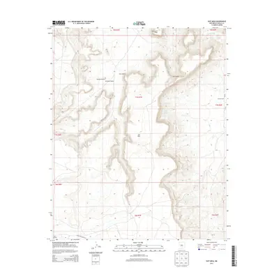
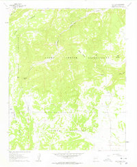
2013 Map of East Mesa
USGS Topo · Published 2013About this map
East Mesa dominates this landscape of the High Desert, where vertical relief is defined by a network of steep-walled drainages and isolated landmarks. The northern reaches are punctuated by the sharp profile of Needle Pinnacle, standing between Ojo Canyon and Paradise Canyon. This area shows the intersection of traditional land use and infrastructure, with Sarracino Ranch and Southwest Plaza marking points of human presence in a terrain otherwise carved by the seasonal flows of Vetech Wash and Sand Canyon.
Find a feature on this map
20 named features on this map. Tap any name to fly to it.
Don’t see what you’re looking for? This feature index may not catch every label — zoom into the map to look around manually.
Map Details
Editions of this 2013 East Mesa Map
This is the sole edition of this map. No revisions or reprints were ever made.
Other maps of this area
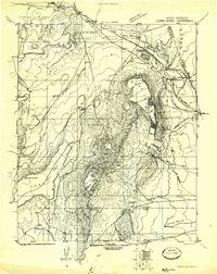
1917 · Cerro Verde
USGS Topo · 1:125,000
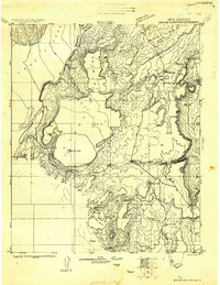
1917 · Broom Mountain
USGS Topo · 1:125,000

1954 · Socorro
USGS Topo · 1:250,000

1958 · Socorro
USGS Topo · 1:250,000
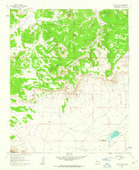
1960 · South Butte
USGS Topo · 1:24,000
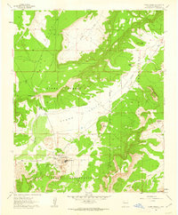
1961 · Acoma Pueblo
USGS Topo · 1:24,000
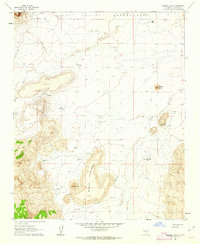
1961 · Marmon Ranch
USGS Topo · 1:24,000
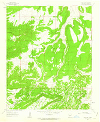
1961 · Crow Point
USGS Topo · 1:24,000
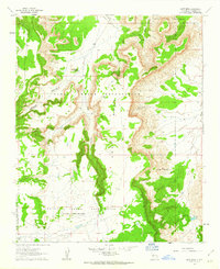
1961 · East Mesa
USGS Topo · 1:24,000
1961 · Blue Mesa
USGS Topo · 1:24,000