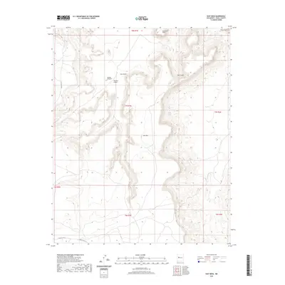
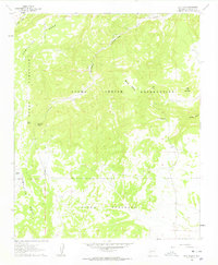
2020 Map of East Mesa
USGS Topo · Published 2020About this map
Frank Paisano Spring and other vital water sources define the survival patterns across this high-desert reach of Cibola County. The landscape is dominated by the massive landform of East Mesa, which is flanked by dramatic geological features such as Petoch Butte and the sharp Needle Pinnacle. These landmarks served as essential navigational points for early residents and travelers through the canyon systems of Sand Canyon and Ojo Canyon.
Find a feature on this map
18 named features on this map. Tap any name to fly to it.
Don’t see what you’re looking for? This feature index may not catch every label — zoom into the map to look around manually.
Map Details
Editions of this 2020 East Mesa Map
This is the sole edition of this map. No revisions or reprints were ever made.
Other maps of this area
1917 · Cerro Verde
USGS Topo · 1:125,000
1917 · Broom Mountain
USGS Topo · 1:125,000

1954 · Socorro
USGS Topo · 1:250,000

1958 · Socorro
USGS Topo · 1:250,000
1960 · South Butte
USGS Topo · 1:24,000
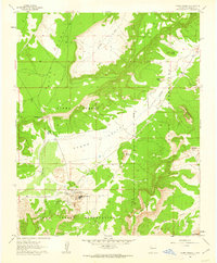
1961 · Acoma Pueblo
USGS Topo · 1:24,000
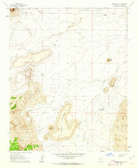
1961 · Marmon Ranch
USGS Topo · 1:24,000
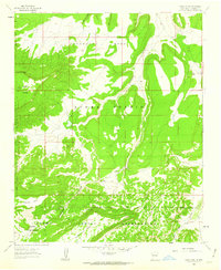
1961 · Crow Point
USGS Topo · 1:24,000
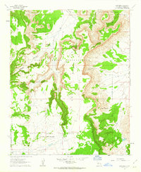
1961 · East Mesa
USGS Topo · 1:24,000
1961 · Blue Mesa
USGS Topo · 1:24,000