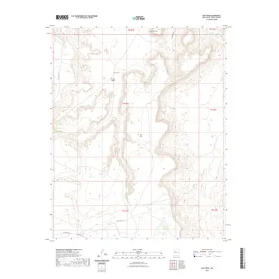
2023 Map of East Mesa
USGS Topo · Published 2023About this map
East Mesa dominates the central portion of this landscape within Cibola County, where intricate drainage systems have carved deep into the high desert terrain. The topographical relief is most pronounced in the north, where Southwest Plaza and Sand Canyon sit near the headwaters of seasonal drainages like Petoch Wash. The interplay of Ojo Canyon and Paradise Canyon illustrates the erosional patterns typical of this region, creating a series of natural corridors between the elevated plateaus.
Find a feature on this map
15 named features on this map. Tap any name to fly to it.
Don’t see what you’re looking for? This feature index may not catch every label — zoom into the map to look around manually.
Map Details
Editions of this 2023 East Mesa Map
This is the sole edition of this map. No revisions or reprints were ever made.
Other maps of this area

1917 · Cerro Verde
USGS Topo · 1:125,000

1917 · Broom Mountain
USGS Topo · 1:125,000

1954 · Socorro
USGS Topo · 1:250,000

1958 · Socorro
USGS Topo · 1:250,000
1960 · South Butte
USGS Topo · 1:24,000
1961 · Acoma Pueblo
USGS Topo · 1:24,000

1961 · Marmon Ranch
USGS Topo · 1:24,000
1961 · Crow Point
USGS Topo · 1:24,000
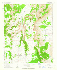
1961 · East Mesa
USGS Topo · 1:24,000
1961 · Blue Mesa
USGS Topo · 1:24,000