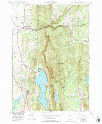
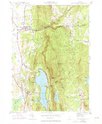
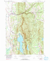
1944 Map of East Middlebury
USGS Topo · Published 1991About this map
The Middlebury River carves its path through the heart of this Vermont landscape, where the settlements of East Middlebury and Ripton meet the rising terrain of the Green Mountain National Forest. This 1944 topographic survey, updated through the early 1970s, reveals a rural economy rooted in the water and hills, marked by landmarks like the Falls of Lana and the curiously named Satans Kingdom south of Lake Dunmore.
Find a feature on this map
48 named features on this map. Tap any name to fly to it.
Don’t see what you’re looking for? This feature index may not catch every label — zoom into the map to look around manually.
Map Details
Editions of this 1944 East Middlebury Map
6 editions found
Other maps of this area

1902 · Brandon
USGS Topo · 1:62,500

1903 · Middlebury
USGS Topo · 1:62,500

1904 · Brandon
USGS Topo · 1:62,500

1905 · Middlebury
USGS Topo · 1:62,500

1915 · Rochester
USGS Topo · 1:62,500

1917 · Rochester
USGS Topo · 1:62,500

1919 · Lincoln Mountain
USGS Topo · 1:62,500

1920 · Lincoln Mountain
USGS Topo · 1:48,000

1920 · Brandon
USGS Topo · 1:62,500

1920 · Middlebury
USGS Topo · 1:62,500