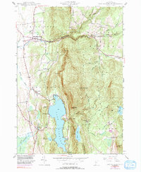
1944 Map of East Middlebury
USGS Topo · Published 1991About this map
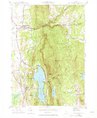
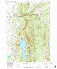
The Green Mountain National Forest dominates this section of the Vermont landscape, where the steep slopes of Mt Moosalamoo and Bryant Mtn rise sharply from the lowlands of Salisbury and Middlebury. The drainage pattern is defined by the Middlebury River and its various branches, which cut through the high terrain to meet the flats below. Centrally, Lake Dunmore and the smaller Silver Lake provide significant water features nestled among the ridges.
Find a feature on this map
44 named features on this map. Tap any name to fly to it.
Don’t see what you’re looking for? This feature index may not catch every label — zoom into the map to look around manually.
Map Details
Editions of this 1944 East Middlebury Map
6 editions found
Other maps of this area

1902 · Brandon
USGS Topo · 1:62,500

1903 · Middlebury
USGS Topo · 1:62,500

1904 · Brandon
USGS Topo · 1:62,500

1905 · Middlebury
USGS Topo · 1:62,500

1915 · Rochester
USGS Topo · 1:62,500

1917 · Rochester
USGS Topo · 1:62,500

1919 · Lincoln Mountain
USGS Topo · 1:62,500

1920 · Lincoln Mountain
USGS Topo · 1:48,000

1920 · Brandon
USGS Topo · 1:62,500

1920 · Middlebury
USGS Topo · 1:62,500