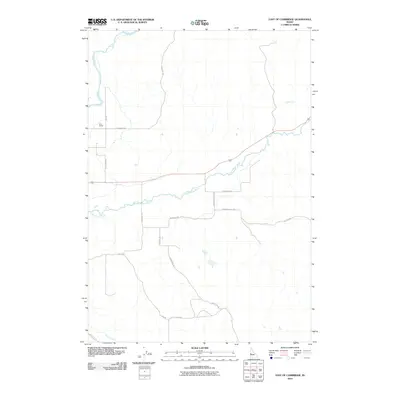
2010 Map of East of Cambridge
USGS Topo · Published 2010About this map
Weiser River and the Little Weiser River converge in this rural expanse of Washington County, where the landscape is defined by its drainage systems and a network of named country lanes. The area east of Cambridge is sparsely settled, anchored by the Cove School and a collection of family-named roads such as Schlehuber Rd and Schwenkfelder Rd. These routes provide access to the foothills and gulches, including the distinctive Monday Gulch Rd. The mapping of several routes as Unfinished Rd suggests a landscape in transition or one where remote access remained limited even in the early 21st century. Further south, Dixie Creek meanders through the terrain near Dixie Creek Rd, illustrating the traditional reliance on watercourses for orienting rural property lines and transport corridors in western Idaho.
Find a feature on this map
18 named features on this map. Tap any name to fly to it.
Don’t see what you’re looking for? This feature index may not catch every label — zoom into the map to look around manually.
Map Details
Editions of this 2010 East of Cambridge Map
This is the sole edition of this map. No revisions or reprints were ever made.
Other maps of this area

1894 · Squaw Creek
USGS Topo · 1:125,000

1897 · Weiser
USGS Topo · 1:125,000

1911 · Meadows
USGS Topo · 1:125,000

1954 · Council
USGS Topo · 1:62,500

1955 · Baker
USGS Topo · 1:250,000

1957 · Cambridge
USGS Topo · 1:62,500

1957 · Crane Creek Reservoir
USGS Topo · 1:62,500

1959 · Baker
USGS Topo · 1:250,000

1970 · Granger Butte
USGS Topo · 1:24,000

1980 · McCall
USGS Topo · 1:100,000