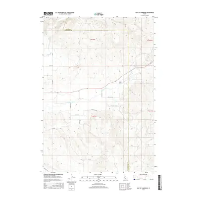
2017 Map of East of Cambridge
USGS Topo · Published 2017About this map
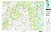
Salubria Valley defines the landscape of eastern Washington County, Idaho, where the Little Weiser River winds through agricultural bottomlands. This 2017 topographic survey highlights a network of rural roads that often follow property lines or the dictates of the terrain, including Schwenkfelder Rd and Monday Gulch Rd. The map documents the boundary between Adams and Washington counties, capturing a modern view of a region historically tied to the Weiser River watershed. The placement of Thomason Lane Rd and Gladhart Rd suggests the persistence of family-named corridors across the valley. To the south, Dixie Cr and its namesake Dixie Creek Rd indicate the drainage patterns that have shaped local settlement and land use since the township-and-range systems were first established.
Find a feature on this map
24 named features on this map. Tap any name to fly to it.
Don’t see what you’re looking for? This feature index may not catch every label — zoom into the map to look around manually.
Map Details
Editions of this 2017 East of Cambridge Map
This is the sole edition of this map. No revisions or reprints were ever made.
Other maps of this area
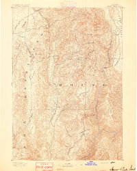
1894 · Squaw Creek
USGS Topo · 1:125,000
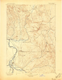
1897 · Weiser
USGS Topo · 1:125,000
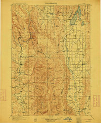
1911 · Meadows
USGS Topo · 1:125,000
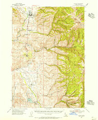
1954 · Council
USGS Topo · 1:62,500

1955 · Baker
USGS Topo · 1:250,000
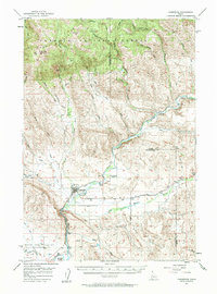
1957 · Cambridge
USGS Topo · 1:62,500
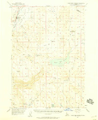
1957 · Crane Creek Reservoir
USGS Topo · 1:62,500

1959 · Baker
USGS Topo · 1:250,000
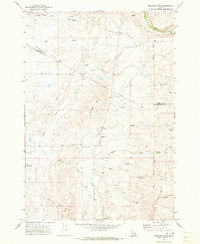
1970 · Granger Butte
USGS Topo · 1:24,000
1980 · McCall
USGS Topo · 1:100,000