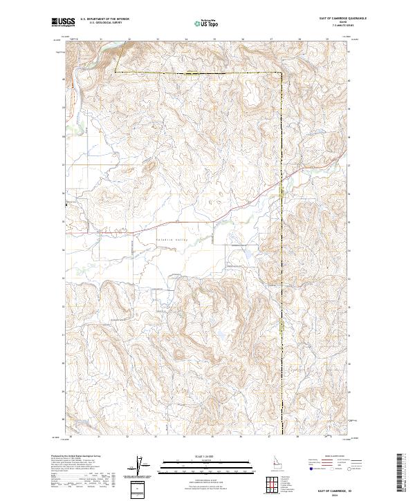
2024 Map of East of Cambridge
USGS Topo · Published 2024About this map
Salubria Valley and its winding watercourses define the landscape east of Cambridge in this 2024 USGS record. The Little Weiser River meanders through the central basin, flanked by a network of rural routes that preserve legacy family and place names, including Schwenkfelder Rd, Thomason Ln, and Gladhart Rd. This modern survey illustrates the persistent agricultural and ranching character of the region, where the valley floor transitions into the elevated terrain of Monday Gulch. To the west, the Weiser River National Recreation Trl follows the old rail corridor, while the Salubria Cem remains a significant point of interest for genealogists tracing the early settlers of Washington County. In the southern reaches, the drainage of Dixie Creek cuts through the hills, accessible via Dixie Creek Rd.
Find a feature on this map
25 named features on this map. Tap any name to fly to it.
Don’t see what you’re looking for? This feature index may not catch every label — zoom into the map to look around manually.
Map Details
Editions of this 2024 East of Cambridge Map
This is the sole edition of this map. No revisions or reprints were ever made.
Other maps of this area

1894 · Squaw Creek
USGS Topo · 1:125,000

1897 · Weiser
USGS Topo · 1:125,000

1911 · Meadows
USGS Topo · 1:125,000

1954 · Council
USGS Topo · 1:62,500

1955 · Baker
USGS Topo · 1:250,000

1957 · Cambridge
USGS Topo · 1:62,500

1957 · Crane Creek Reservoir
USGS Topo · 1:62,500

1959 · Baker
USGS Topo · 1:250,000

1970 · Granger Butte
USGS Topo · 1:24,000

1980 · McCall
USGS Topo · 1:100,000