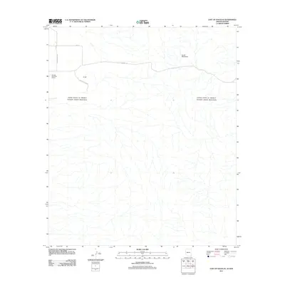
2011 Map of East of Douglas
USGS Topo · Published 2011About this map
The international border defines the southern portion of this high-desert landscape just east of Douglas. The terrain is marked by the rising slopes of the Perilla Mountains and the prominent landmark of D Hill, which overlooks the neighboring valley. Infrastructure in this borderlands region is sparse, centered on the Douglas Municipal Airport and a small network of rural corridors including Perilla Ranch Rd and N Roger's Ranch Rd. Of particular note is the Geronimo Trl, a historic route that winds eastward through the mountains. The map provides a detailed view of the drainage patterns and desert washes that flow across the boundary, illustrating the physical continuity of the environment across the man-made political line.
Find a feature on this map
8 named features on this map. Tap any name to fly to it.
Don’t see what you’re looking for? This feature index may not catch every label — zoom into the map to look around manually.
Map Details
Editions of this 2011 East of Douglas Map
This is the sole edition of this map. No revisions or reprints were ever made.
Other maps of this area
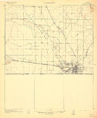
1914 · Douglas
USGS Topo · 1:62,500
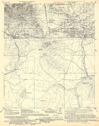
1916 · Douglas
USGS Topo · 1:125,000
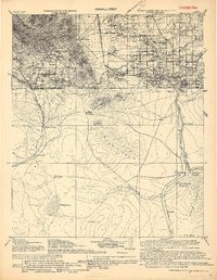
1919 · Douglas
USGS Topo · 1:125,000
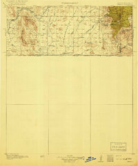
1919 · Perilla
USGS Topo · 1:125,000
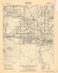
1925 · Douglas
USGS Topo · 1:62,500
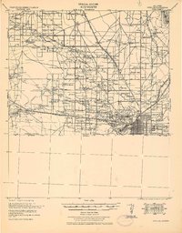
1933 · Douglas
USGS Topo · 1:62,500
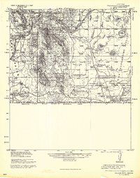
1940 · College Peaks
USGS Topo · 1:62,500
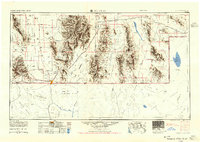
1955 · Douglas
USGS Topo · 1:250,000
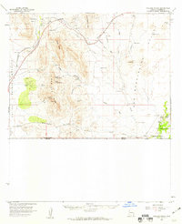
1958 · College Peaks
USGS Topo · 1:62,500
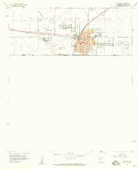
1958 · Douglas
USGS Topo · 1:24,000