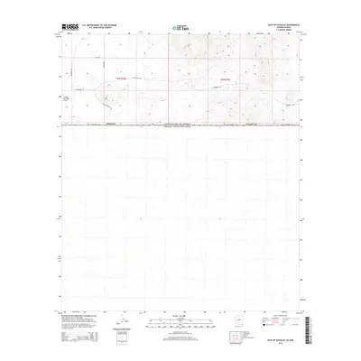
2014 Map of East of Douglas
USGS Topo · Published 2014About this map
The international boundary defines the lower edge of this landscape, marking the southern edge of Cochise County just east of the city of Douglas. This border region is characterized by a mix of aviation infrastructure and rural desert corridors. The Douglas Municipal Airport occupies the northwestern corner, serving as a primary landmark alongside the distinctive D Hill terrain feature.
Find a feature on this map
13 named features on this map. Tap any name to fly to it.
Don’t see what you’re looking for? This feature index may not catch every label — zoom into the map to look around manually.
Map Details
Editions of this 2014 East of Douglas Map
This is the sole edition of this map. No revisions or reprints were ever made.
Other maps of this area
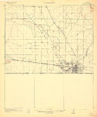
1914 · Douglas
USGS Topo · 1:62,500
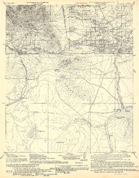
1916 · Douglas
USGS Topo · 1:125,000
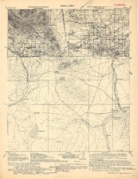
1919 · Douglas
USGS Topo · 1:125,000
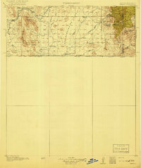
1919 · Perilla
USGS Topo · 1:125,000
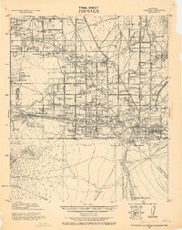
1925 · Douglas
USGS Topo · 1:62,500
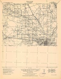
1933 · Douglas
USGS Topo · 1:62,500
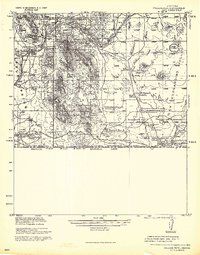
1940 · College Peaks
USGS Topo · 1:62,500
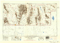
1955 · Douglas
USGS Topo · 1:250,000
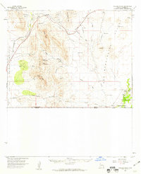
1958 · College Peaks
USGS Topo · 1:62,500
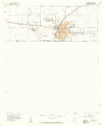
1958 · Douglas
USGS Topo · 1:24,000