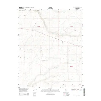
2014 Map of East of Kinlichee
USGS Topo · Published 2014About this map
Defiance Plateau dominates the northeastern landscape of this region, providing a high-elevation backdrop to the network of washes and canyons that define the local topography. The drainage patterns of Kinlichee Cr and Burnt Piñon Wash reveal a complex system of seasonal watercourses carved into the arid environment. To the south, the terrain opens into Wide Ruin Valley, where Wide Ruin Wash meanders across the lower elevations.
Find a feature on this map
18 named features on this map. Tap any name to fly to it.
Don’t see what you’re looking for? This feature index may not catch every label — zoom into the map to look around manually.
Map Details
Editions of this 2014 East of Kinlichee Map
This is the sole edition of this map. No revisions or reprints were ever made.
Other maps of this area
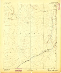
1886 · Fort Defiance
USGS Topo · 1:250,000
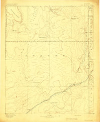
1892 · Fort Defiance
USGS Topo · 1:250,000

1954 · Gallup
USGS Topo · 1:250,000
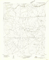
1955 · Zith-Tusayan Butte 3 NW
USGS Topo · 1:24,000
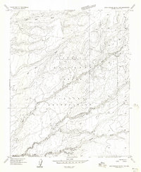
1955 · Zith-Tusayan Butte 2 SE
USGS Topo · 1:24,000
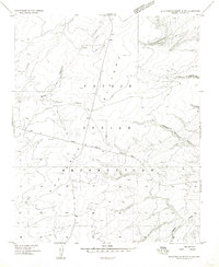
1955 · Zith-Tusayan Butte 4 NW
USGS Topo · 1:24,000
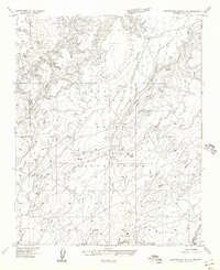
1955 · Zith-Tusayan Butte 2 SW
USGS Topo · 1:24,000
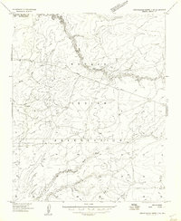
1955 · Zith-Tusayan Butte 3 NE
USGS Topo · 1:24,000
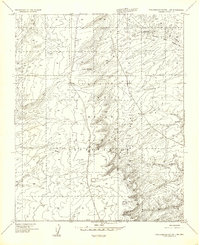
1955 · Zith-Tusayan Butte 1 SW
USGS Topo · 1:24,000
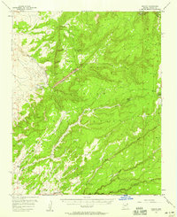
1955 · Nazlini
USGS Topo · 1:62,500