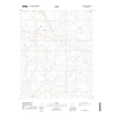
2018 Map of East of Kinlichee
USGS Topo · Published 2018About this map
Defiance Plateau dominates the high-altitude topography of this landscape in Apache County, where complex drainage systems like Kinlichee Cr and Burnt Piñon Wash carve through the arid terrain. The map captures a moment in the modern era of the Fort Defiance Agency, showing the network of local transport routes including Claw Cook Rd and Bear Canyon Rd as they traverse the high desert. In the southern portion of the quadrangle, the landscape opens into the Wide Ruin Valley, defined by the meandering path of Wide Ruin Wash. This survey provides a precise look at the land partitions of T27N R28E and surrounding townships, illustrating the intersection of natural hydrology and established tribal and administrative boundaries.
Find a feature on this map
16 named features on this map. Tap any name to fly to it.
Don’t see what you’re looking for? This feature index may not catch every label — zoom into the map to look around manually.
Map Details
Editions of this 2018 East of Kinlichee Map
This is the sole edition of this map. No revisions or reprints were ever made.
Other maps of this area
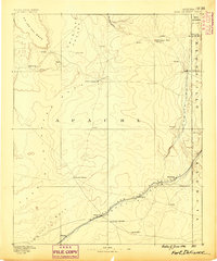
1886 · Fort Defiance
USGS Topo · 1:250,000
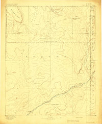
1892 · Fort Defiance
USGS Topo · 1:250,000

1954 · Gallup
USGS Topo · 1:250,000
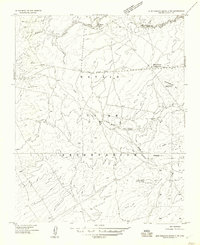
1955 · Zith-Tusayan Butte 3 NW
USGS Topo · 1:24,000
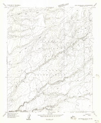
1955 · Zith-Tusayan Butte 2 SE
USGS Topo · 1:24,000
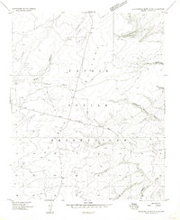
1955 · Zith-Tusayan Butte 4 NW
USGS Topo · 1:24,000
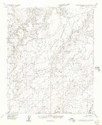
1955 · Zith-Tusayan Butte 2 SW
USGS Topo · 1:24,000
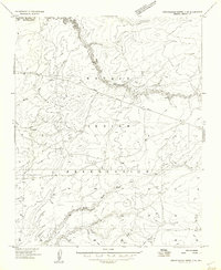
1955 · Zith-Tusayan Butte 3 NE
USGS Topo · 1:24,000
1955 · Zith-Tusayan Butte 1 SW
USGS Topo · 1:24,000
1955 · Nazlini
USGS Topo · 1:62,500