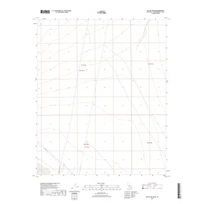
2018 Map of East of Milligan
USGS Topo · Published 2018About this map
Ward Valley and the Mojave Desert terrain define this arid landscape in eastern San Bernardino County. The topography is dominated by broad alluvial fans and drainage patterns, most notably the braided course of Homer Wash in the northeastern corner. Infrastructure is minimal in this desert expanse, limited to the long, straight corridors of Cadiz Rd and Telephone Pole Line Rd which traverse the valley floor. These routes provide the only evidence of human activity through the basin, following the natural contours of the desert terrain where public land survey systems like t3n r18e and t2n r18e mark the vast, uninhabited sections. The map serves as a record of this remote drainage basin where ephemeral watercourses shape the dry landscape.
Find a feature on this map
9 named features on this map. Tap any name to fly to it.
Don’t see what you’re looking for? This feature index may not catch every label — zoom into the map to look around manually.
Map Details
Editions of this 2018 East of Milligan Map
This is the sole edition of this map. No revisions or reprints were ever made.
Other maps of this area

1942 · Amboy
USGS Topo · 1:250,000

1943 · Amboy
USGS Topo · 1:250,000
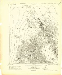
1943 · Turtle Mts.
USGS Topo · 1:62,500
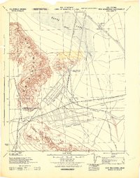
1943 · Iron Mountains
USGS Topo · 1:62,500

1954 · Needles
USGS Topo · 1:250,000
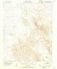
1954 · Turtle Mountains
USGS Topo · 1:62,500
1954 · Rice
USGS Topo · 1:62,500
1956 · Needles
USGS Topo · 1:250,000
1956 · Milligan
USGS Topo · 1:62,500
1956 · Iron Mountains
USGS Topo · 1:62,500