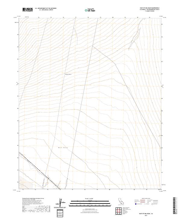
2021 Map of East of Milligan
USGS Topo · Published 2021About this map
Mojave Desert terrain dominates this eastern portion of the Milligan area, characterized by the broad, sloping drainage of Ward Valley. This landscape reflects the sparse infrastructure typical of high-desert basins, where transportation routes are dictated by the natural topography of the valley floor. Historically, these areas served as critical corridors for communications and regional transit, as seen in the presence of Telephone Line Rd and Cadiz Rd. The grid of the Public Land Survey System, including t3n r18e and t2n r19e, provides the primary structure for this expanse of San Bernardino County. These designations highlight the vast, surveyed but largely undeveloped tracts that were often utilized for mining access, ranching, and utility right-of-ways throughout the twentieth century.
Find a feature on this map
8 named features on this map. Tap any name to fly to it.
Don’t see what you’re looking for? This feature index may not catch every label — zoom into the map to look around manually.
Map Details
Editions of this 2021 East of Milligan Map
This is the sole edition of this map. No revisions or reprints were ever made.
Other maps of this area

1942 · Amboy
USGS Topo · 1:250,000

1943 · Amboy
USGS Topo · 1:250,000

1943 · Turtle Mts.
USGS Topo · 1:62,500

1943 · Iron Mountains
USGS Topo · 1:62,500

1954 · Needles
USGS Topo · 1:250,000

1954 · Turtle Mountains
USGS Topo · 1:62,500

1954 · Rice
USGS Topo · 1:62,500

1956 · Needles
USGS Topo · 1:250,000

1956 · Milligan
USGS Topo · 1:62,500

1956 · Iron Mountains
USGS Topo · 1:62,500