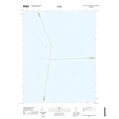
2019 Map of East of Point Lookout (All Water)
USGS Topo · Published 2019About this map
Chesapeake Bay waters dominate this 2019 survey, illustrating the critical maritime corridors where the borders of three Maryland counties converge in the open bay. The map documents the precise intersection of administrative boundaries for St. Mary's, Dorchester, and Somerset counties. A defining navigational feature of this aquatic landscape is the Chesapeake Channel, which facilitates deep-water transit alongside the Intracoastal Waterway. This sheet serves as a clear record of modern maritime cartography, emphasizing the submerged topography and political geography that define the middle of the bay, far from the visible shoreline but essential for regional shipping and jurisdictional clarity.
Find a feature on this map
6 named features on this map. Tap any name to fly to it.
Don’t see what you’re looking for? This feature index may not catch every label — zoom into the map to look around manually.
Map Details
Editions of this 2019 East of Point Lookout (All Water) Map
This is the sole edition of this map. No revisions or reprints were ever made.
Other maps of this area
1894 · Point Lookout
USGS Topo · 1:62,500
1898 · St. Marys
USGS Topo · 1:125,000
1903 · Bloodsworth Island
USGS Topo · 1:62,500
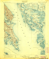
1906 · St. Marys
USGS Topo · 1:125,000
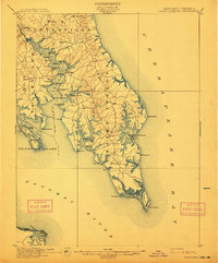
1912 · Point Lookout
USGS Topo · 1:62,500
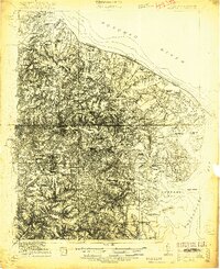
1917 · Heathsville
USGS Topo · 1:48,000
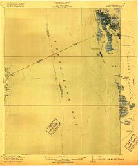
1917 · Ewell
USGS Topo · 1:62,500
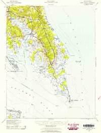
1937 · Point Lookout
USGS Topo · 1:62,500
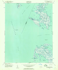
1942 · Kedges Straits
USGS Topo · 1:24,000
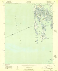
1942 · Ewell
USGS Topo · 1:24,000