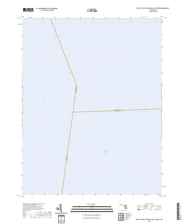
2023 Map of East of Point Lookout (All Water)
USGS Topo · Published 2023About this map
Chesapeake Bay dominates this maritime expanse, serving as the primary geographic feature of the quadrangle. As an "All Water" survey, the map focuses on the complex convergence of three Maryland county boundaries submerged within the bay's open waters. The intersection of St. Mary's Co Dorchester Co, Dorchester Co Somerset Co, and St. Mary's Co Somerset Co defines the navigational and political divisions of this aquatic territory. For researchers, this document clarifies the exact coordinates where Dorchester, St. Mary's, and Somerset counties meet, providing an essential record of modern Maryland water boundaries and jurisdictional limits away from the immediate shoreline.
Find a feature on this map
4 named features on this map. Tap any name to fly to it.
Don’t see what you’re looking for? This feature index may not catch every label — zoom into the map to look around manually.
Map Details
Editions of this 2023 East of Point Lookout (All Water) Map
This is the sole edition of this map. No revisions or reprints were ever made.
Other maps of this area

1894 · Point Lookout
USGS Topo · 1:62,500

1898 · St. Marys
USGS Topo · 1:125,000

1903 · Bloodsworth Island
USGS Topo · 1:62,500

1906 · St. Marys
USGS Topo · 1:125,000

1912 · Point Lookout
USGS Topo · 1:62,500

1917 · Heathsville
USGS Topo · 1:48,000

1917 · Ewell
USGS Topo · 1:62,500

1937 · Point Lookout
USGS Topo · 1:62,500

1942 · Kedges Straits
USGS Topo · 1:24,000

1942 · Ewell
USGS Topo · 1:24,000