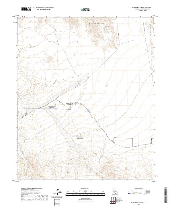
2021 Map of East of Red Canyon
USGS Topo · Published 2021About this map
The Bradshaw Trl and Bradshaw Rd traverse this arid expanse of Riverside County, following historic transportation corridors through the desert landscape. This area is defined by the convergence of several major landforms, with the southern slopes of the Orocopia Mountains to the north, the western edges of the Chuckwalla Mountains to the east, and the northern reaches of the Chocolate Mountains at the bottom of the sheet. Modern infrastructure is represented by Gas Line Rd and Summit Rd, which navigate the varying elevations between these ranges. The drainage of Salt Cr provides a primary hydrological feature in an otherwise dry environment. The map details the Public Land Survey System grid across multiple townships and ranges, providing a clear record of land divisions in this part of the California desert.
Find a feature on this map
14 named features on this map. Tap any name to fly to it.
Don’t see what you’re looking for? This feature index may not catch every label — zoom into the map to look around manually.
Map Details
Editions of this 2021 East of Red Canyon Map
This is the sole edition of this map. No revisions or reprints were ever made.
Other maps of this area

1940 · Frink
USGS Topo · 1:62,500

1940 · Iris Pass
USGS Topo · 1:62,500

1940 · Canyon Spring
USGS Topo · 1:62,500

1943 · Canyon Spring
USGS Topo · 1:62,500

1944 · Chuckwalla Mountains
USGS Topo · 1:62,500

1944 · Frink
USGS Topo · 1:62,500

1945 · Iris Pass
USGS Topo · 1:62,500

1954 · Salton Sea
USGS Topo · 1:250,000

1955 · Salton Sea
USGS Topo · 1:250,000

1956 · Frink NW
USGS Topo · 1:24,000