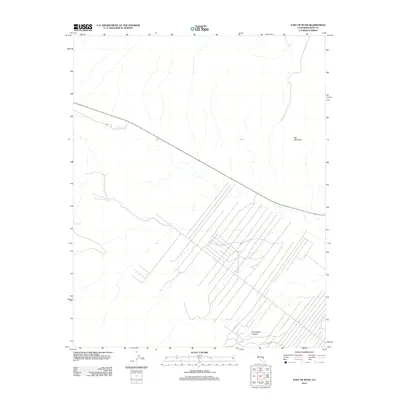
2012 Map of East of Ryan
USGS Topo · Published 2012About this map
Bat Mountain anchors the northeastern corner of this arid landscape in Inyo County, overlooking a network of straight-line tracks and desert roads that reveal the modern infrastructure of this high-desert region. To the south, the deep contours of Greenwater Canyon cut through the terrain, indicating the geological forces that have shaped this portion of California. The presence of remote routes such as Petro Rd and Potero Rd suggests a landscape managed for mineral access or utility maintenance. This digital-era survey by the U.S. Geological Survey reflects the sparse but intentional development characteristic of the Mojave and Great Basin transition, where physical isolation is mediated by a deliberate grid of service roads and mountain landmarks.
Find a feature on this map
4 named features on this map. Tap any name to fly to it.
Don’t see what you’re looking for? This feature index may not catch every label — zoom into the map to look around manually.
Map Details
Editions of this 2012 East of Ryan Map
This is the sole edition of this map. No revisions or reprints were ever made.
Other maps of this area

1908 · Furnace Creek
USGS Topo · 1:250,000

1910 · Furnace Creek
USGS Topo · 1:250,000

1940 · Eagle Tank
USGS Topo · 1:62,500

1948 · Death Valley
USGS Topo · 1:250,000

1951 · Funeral Peak
USGS Topo · 1:62,500

1951 · Eagle Mtn
USGS Topo · 1:62,500

1952 · Ash Meadows
USGS Topo · 1:62,500

1952 · Ryan
USGS Topo · 1:62,500

1954 · Death Valley
USGS Topo · 1:250,000

1956 · Death Valley
USGS Topo · 1:250,000