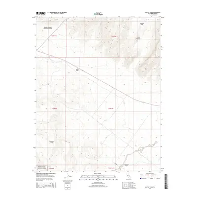
2015 Map of East of Ryan
USGS Topo · Published 2015About this map
Death Valley National Park encompasses the majority of this landscape, revealing the stark geological transitions of the Mojave Desert. The map documents the converging ridges of the Amargosa Range and the Funeral Mountains in the northeast, which give way to the prominent peak of Bat Mtn. To the south, the terrain is defined by the Greenwater Range and the winding path of Greenwater Canyon. This 2015 edition provides modern road data, including Highway 190 slicing across the northern desert floor and the unpaved route of Potero Rd navigating the southern foothills. The survey is a precise record of the elevation changes and township boundaries that structure this protected California wilderness.
Find a feature on this map
15 named features on this map. Tap any name to fly to it.
Don’t see what you’re looking for? This feature index may not catch every label — zoom into the map to look around manually.
Map Details
Editions of this 2015 East of Ryan Map
This is the sole edition of this map. No revisions or reprints were ever made.
Other maps of this area

1908 · Furnace Creek
USGS Topo · 1:250,000

1910 · Furnace Creek
USGS Topo · 1:250,000
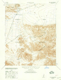
1940 · Eagle Tank
USGS Topo · 1:62,500

1948 · Death Valley
USGS Topo · 1:250,000
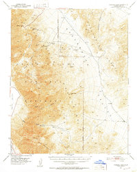
1951 · Funeral Peak
USGS Topo · 1:62,500
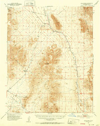
1951 · Eagle Mtn
USGS Topo · 1:62,500
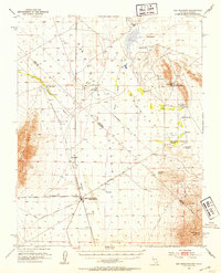
1952 · Ash Meadows
USGS Topo · 1:62,500
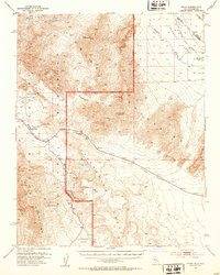
1952 · Ryan
USGS Topo · 1:62,500

1954 · Death Valley
USGS Topo · 1:250,000

1956 · Death Valley
USGS Topo · 1:250,000