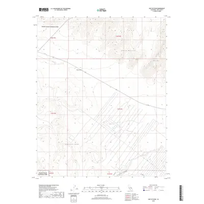
2018 Map of East of Ryan
USGS Topo · Published 2018About this map
The high-altitude reaches of Death Valley National Park define this arid landscape along the California-Nevada border. The map captures the eastern periphery of the park, dominated by the uplifted limestone and volcanic structures of the Funeral Mountains and the Greenwater Range. In this stark transition where the northern Mojave Desert meets the Great Basin, the topography is carved by episodic runoff, most notably seen in the winding path of Greenwater Canyon. This 2018 survey reveals a terrain defined by geological time rather than human settlement, with only solitary routes like Potero Rd crossing the alluvial fans. Prominent landmarks such as Bat Mtn stand as navigational anchors in a wilderness largely devoid of modern development, preserved for its ecological and geological significance.
Find a feature on this map
13 named features on this map. Tap any name to fly to it.
Don’t see what you’re looking for? This feature index may not catch every label — zoom into the map to look around manually.
Map Details
Editions of this 2018 East of Ryan Map
This is the sole edition of this map. No revisions or reprints were ever made.
Other maps of this area

1908 · Furnace Creek
USGS Topo · 1:250,000

1910 · Furnace Creek
USGS Topo · 1:250,000
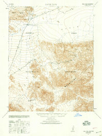
1940 · Eagle Tank
USGS Topo · 1:62,500

1948 · Death Valley
USGS Topo · 1:250,000
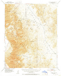
1951 · Funeral Peak
USGS Topo · 1:62,500
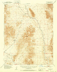
1951 · Eagle Mtn
USGS Topo · 1:62,500
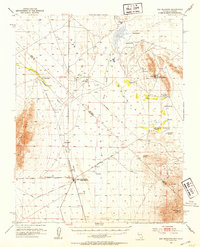
1952 · Ash Meadows
USGS Topo · 1:62,500
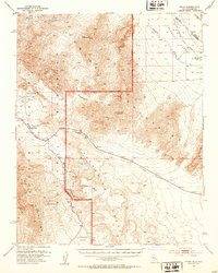
1952 · Ryan
USGS Topo · 1:62,500

1954 · Death Valley
USGS Topo · 1:250,000

1956 · Death Valley
USGS Topo · 1:250,000