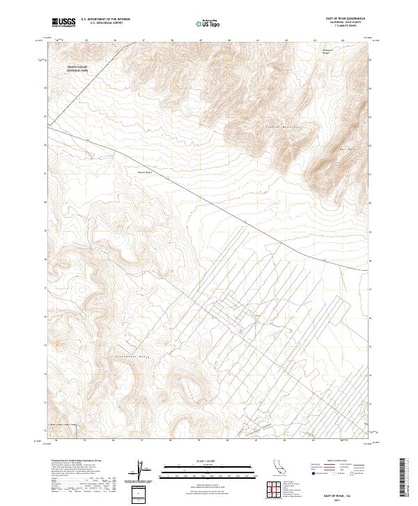
2021 Map of East of Ryan
USGS Topo · Published 2021About this map
Death Valley National Park occupies the northwest corner of this sheet, where the high desert terrain meets the southern reaches of the Funeral Mountains and the Amargosa Range. The landscape is dominated by the stark topography of the Mojave Desert, characterized by significant elevation changes between peaks like Bat Mtn and the deep incisions of Greenwater Canyon. This 2021 survey illustrates the modern boundaries and infrastructure within Inyo County, including the path of Highway 190 as it skirts the northern edge of the Greenwater Range. The mapping detail focuses on the complex public land survey system grid, with numerous township and range designations such as t25n r4e marking the vast, arid stretches south of the main park entrance. Potero Rd provides one of the few designated access points into the rugged canyons at the southern boundary.
Find a feature on this map
13 named features on this map. Tap any name to fly to it.
Don’t see what you’re looking for? This feature index may not catch every label — zoom into the map to look around manually.
Map Details
Editions of this 2021 East of Ryan Map
This is the sole edition of this map. No revisions or reprints were ever made.
Other maps of this area

1908 · Furnace Creek
USGS Topo · 1:250,000

1910 · Furnace Creek
USGS Topo · 1:250,000

1940 · Eagle Tank
USGS Topo · 1:62,500

1948 · Death Valley
USGS Topo · 1:250,000

1951 · Funeral Peak
USGS Topo · 1:62,500

1951 · Eagle Mtn
USGS Topo · 1:62,500

1952 · Ash Meadows
USGS Topo · 1:62,500

1952 · Ryan
USGS Topo · 1:62,500

1954 · Death Valley
USGS Topo · 1:250,000

1956 · Death Valley
USGS Topo · 1:250,000