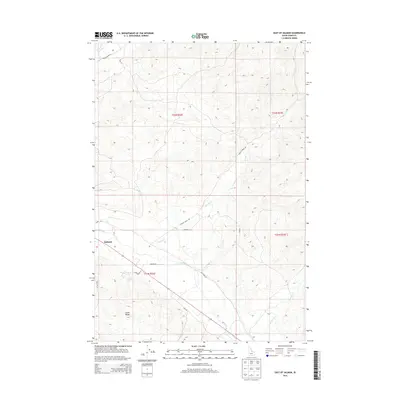
2013 Map of East of Salmon
USGS Topo · Published 2013About this map
The Lemhi River valley serves as the central artery for this portion of eastern Idaho, where the town of Salmon sits at the foot of the Lemhi Range. In the early 21st century, the landscape reflects a transition from the structured street grid of the town to a network of rural roads that follow the natural topography and old property lines. Features such as Old Lemhi Rd, Carmen Creek Rd, and Millers Ln indicate established agricultural or ranching tracts along the river bottoms. The northern reach is defined by the drainage of Carmen Cr, while the southern end of town is marked by Cemetery Ln. This survey captures the rural infrastructure supporting the community, showing how the local road network, including Kirtley Creek Rd and Cockrell Rd, navigates the ascending slopes east of the valley floor.
Find a feature on this map
19 named features on this map. Tap any name to fly to it.
Don’t see what you’re looking for? This feature index may not catch every label — zoom into the map to look around manually.
Map Details
Editions of this 2013 East of Salmon Map
This is the sole edition of this map. No revisions or reprints were ever made.
Other maps of this area

1950 · Salmon
USGS Topo · 1:62,500

1951 · Salmon
USGS Topo · 1:62,500

1955 · Dillon
USGS Topo · 1:250,000

1956 · Goldstone Mtn
USGS Topo · 1:62,500

1957 · Dillon
USGS Topo · 1:250,000

1958 · Dillon
USGS Topo · 1:250,000

1962 · Dillon
USGS Topo · 1:250,000

1965 · Dillon
USGS Topo · 1:250,000

1966 · Badger Spring Gulch
USGS Topo · 1:24,000
1966 · Bird Creek
USGS Topo · 1:24,000