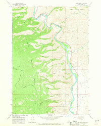
1966 Map of Bird Creek
USGS Topo · Published 1971About this map
The Salmon River winds through the heart of the Salmon National Forest in this mid-1960s Idaho survey, carving a deep path through the mountains of Lemhi County. This specific stretch of the river is anchored by the historic path of the Lewis and Clark Trail, which follows the river's eastern bank before cutting across the high terrain. The landscape is defined by a series of steep drainages, including Bird Creek, Diamond Creek, and Wallace Creek, which flow eastward from high ridges like Napoleon Gulch to meet the main river channel.
Find a feature on this map
27 named features on this map. Tap any name to fly to it.
Don’t see what you’re looking for? This feature index may not catch every label — zoom into the map to look around manually.
Map Details
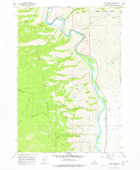
Editions of this 1966 Bird Creek Map
2 editions found
Other maps of this area

1950 · Salmon
USGS Topo · 1:62,500

1950 · Leesburg
USGS Topo · 1:62,500

1951 · Leesburg
USGS Topo · 1:62,500

1951 · Salmon
USGS Topo · 1:62,500

1955 · Dillon
USGS Topo · 1:250,000

1956 · Elk City
USGS Topo · 1:250,000

1957 · Dillon
USGS Topo · 1:250,000

1958 · Dillon
USGS Topo · 1:250,000

1960 · Elk City
USGS Topo · 1:250,000

1960 · Ulysses Mtn
USGS Topo · 1:62,500