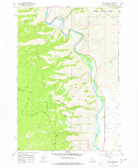
1966 Map of Bird Creek
USGS Topo · Published 1978About this map
The Salmon River carves a winding path through this rugged corridor of the Salmon National Forest, revealing a landscape shaped by both natural forces and early resource extraction. Prospectors and miners left their mark across the terrain, evidenced by the Sims Mine and numerous other workings scattered near Diamond Creek and Wallace Creek. The map documents a complex network of access points, including the Moose Creek Road and various specialized paths like the Pack Trail and Jeep Trail, which were essential for navigating the steep gulches such as Maxwell Gulch and Napoleon Gulch. Along the riverbanks, markers like Mile 245 and Badger provide navigational reference points, while the open expanse of Big Flat contrasts with the narrow drainage of Bird Creek. This survey captures the mid-century intersection of remote wilderness management and small-scale mining operations in Lemhi County.
Find a feature on this map
41 named features on this map. Tap any name to fly to it.
Don’t see what you’re looking for? This feature index may not catch every label — zoom into the map to look around manually.
Map Details
Editions of this 1966 Bird Creek Map
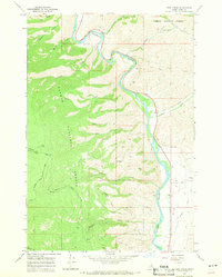
2 editions found
Other maps of this area

1950 · Salmon
USGS Topo · 1:62,500

1950 · Leesburg
USGS Topo · 1:62,500

1951 · Leesburg
USGS Topo · 1:62,500

1951 · Salmon
USGS Topo · 1:62,500

1955 · Dillon
USGS Topo · 1:250,000

1956 · Elk City
USGS Topo · 1:250,000

1957 · Dillon
USGS Topo · 1:250,000

1958 · Dillon
USGS Topo · 1:250,000

1960 · Elk City
USGS Topo · 1:250,000

1960 · Ulysses Mtn
USGS Topo · 1:62,500