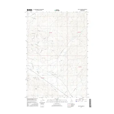
2017 Map of East of Salmon
USGS Topo · Published 2017About this map
The Lemhi River valley serves as the primary corridor for settlement and transit east of Salmon, where agricultural land meets the rising foothills of the Lemhi Range. Modern residential developments such as the Black Hawk Subdivision appear alongside older thoroughfares like Old Lemhi Rd and Hokanson Ln. The landscape is defined by a dense network of recreational and historic paths, including the Lewis and Clark route and the curiously named Drunken Sheriff Trail.
Find a feature on this map
41 named features on this map. Tap any name to fly to it.
Don’t see what you’re looking for? This feature index may not catch every label — zoom into the map to look around manually.
Map Details
Editions of this 2017 East of Salmon Map
This is the sole edition of this map. No revisions or reprints were ever made.
Other maps of this area

1950 · Salmon
USGS Topo · 1:62,500

1951 · Salmon
USGS Topo · 1:62,500

1955 · Dillon
USGS Topo · 1:250,000

1956 · Goldstone Mtn
USGS Topo · 1:62,500

1957 · Dillon
USGS Topo · 1:250,000

1958 · Dillon
USGS Topo · 1:250,000

1962 · Dillon
USGS Topo · 1:250,000

1965 · Dillon
USGS Topo · 1:250,000

1966 · Badger Spring Gulch
USGS Topo · 1:24,000
1966 · Bird Creek
USGS Topo · 1:24,000