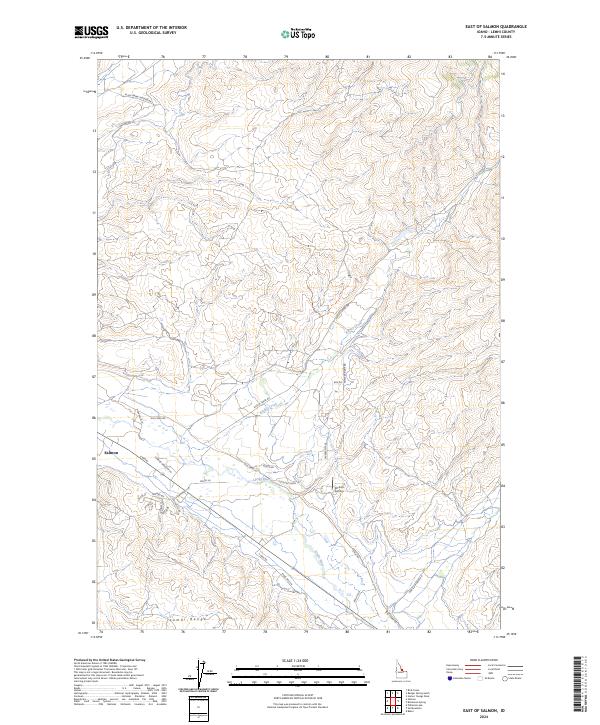
2024 Map of East of Salmon
USGS Topo · Published 2024About this map
Salmon sits at the western edge of this landscape, where the Lemhi River flows through the valley before meeting the slopes of the Lemhi Range. The area represents a mix of established residential growth, seen in the Black Hawk Subdivision, and expansive rural holdings. The geography is defined by the drainage patterns of Kirtley Creek and smaller tributaries as they descend from the high ground. Local aviation is supported by the 40 Acre Airstrip, while the road network, including the historical Old Lemhi Rd and Gertson Creek Rd, follows the natural contours of the river valley. This modern survey illustrates the transition from the concentrated streets of the town center to the outlying country living developments and canyon access roads that characterize this portion of Lemhi County.
Find a feature on this map
32 named features on this map. Tap any name to fly to it.
Don’t see what you’re looking for? This feature index may not catch every label — zoom into the map to look around manually.
Map Details
Editions of this 2024 East of Salmon Map
This is the sole edition of this map. No revisions or reprints were ever made.
Other maps of this area

1950 · Salmon
USGS Topo · 1:62,500

1951 · Salmon
USGS Topo · 1:62,500

1955 · Dillon
USGS Topo · 1:250,000

1956 · Goldstone Mtn
USGS Topo · 1:62,500

1957 · Dillon
USGS Topo · 1:250,000

1958 · Dillon
USGS Topo · 1:250,000

1962 · Dillon
USGS Topo · 1:250,000

1965 · Dillon
USGS Topo · 1:250,000

1966 · Badger Spring Gulch
USGS Topo · 1:24,000
1966 · Bird Creek
USGS Topo · 1:24,000