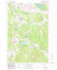
1959 Map of East Olympia
USGS Topo · Published 1982About this map
Chambers Prairie and the surrounding lowland landscapes of Thurston County are captured in this mid-century survey, which details a transition from open prairie to wooded hills. The Deschutes River winds through the western half of the map, while the eastern edge is defined by the Fort Lewis Military Reservation. Significant infrastructure is centered at East Olympia, where the Union Pacific Railroad and Burlington Northern Railroad converge.
Find a feature on this map
35 named features on this map. Tap any name to fly to it.
Don’t see what you’re looking for? This feature index may not catch every label — zoom into the map to look around manually.
Map Details
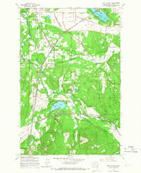
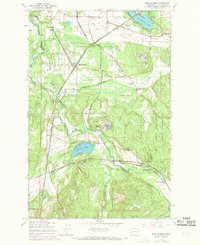
Editions of this 1959 East Olympia Map
Other maps of this area

1916 · Chehalis
USGS Topo · 1:125,000

1937 · Olympia
USGS Topo · 1:62,500

1940 · Tenino
USGS Topo · 1:62,500

1940 · Anderson Island
USGS Topo · 1:62,500

1944 · Tenino
USGS Topo · 1:62,500

1944 · Yelm
USGS Topo · 1:62,500

1948 · Anderson Island
USGS Topo · 1:62,500

1948 · Nisqually
USGS Topo · 1:24,000

1949 · Yelm
USGS Topo · 1:62,500

1949 · Tenino
USGS Topo · 1:62,500