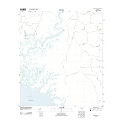
2012 Map of East Pass
USGS Topo · Published 2012About this map
The Suwannee River fractures into a complex network of coastal distributaries as it reaches the Gulf of Mexico along the Levy County coastline. This hydrologic landscape is defined by the shifting channels of the East Pass, Gopher River, and Mitchell Cr, which wind through marshlands toward the Suwannee Sound. Human presence is concentrated around Fletcher Landing and along rural corridors like SE 349 Hwy, where local roads such as Munden Camp Rd and Goolsby Rd provide access to the river's edge. The geography is characterized by distinct landforms like Tiger Island and Turkey Island, while the river itself features sharp meanders such as U-Lee Bend. Farther out into the sound, the submerged Lone Cabbage Reef marks the transition from the river mouth to the open Gulf waters.
Find a feature on this map
56 named features on this map. Tap any name to fly to it.
Don’t see what you’re looking for? This feature index may not catch every label — zoom into the map to look around manually.
Map Details
Editions of this 2012 East Pass Map
This is the sole edition of this map. No revisions or reprints were ever made.
Other maps of this area

1954 · Suwannee
USGS Topo · 1:24,000

1954 · Manatee Springs
USGS Topo · 1:24,000

1954 · Chiefland SW
USGS Topo · 1:24,000

1954 · Vista
USGS Topo · 1:24,000

1954 · East Pass
USGS Topo · 1:24,000

1954 · Gainesville
USGS Topo · 1:250,000

1955 · Cedar Key
USGS Topo · 1:24,000

1955 · Sumner
USGS Topo · 1:24,000

1955 · Shired Island
USGS Topo · 1:24,000

1958 · Gainesville
USGS Topo · 1:250,000