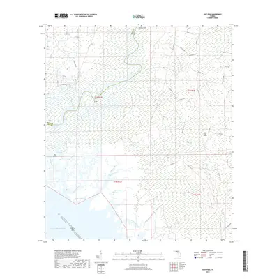
2018 Map of East Pass
USGS Topo · Published 2018About this map
The Suwannee River carves a winding path toward the Gulf of Mexico, defining the low-lying coastal geography of the border between Dixie and Levy Counties. This maritime landscape is a complex network of tidal creeks and brackish channels, including East Pass, Gopher River, and Sandfly Cr. The interior is dominated by the dense California Swamp, while the river's approach to the gulf is marked by named landmarks like U-Lee Bend and several coastal landmasses such as Hog Island and Turkey Island.
Find a feature on this map
64 named features on this map. Tap any name to fly to it.
Don’t see what you’re looking for? This feature index may not catch every label — zoom into the map to look around manually.
Map Details
Editions of this 2018 East Pass Map
This is the sole edition of this map. No revisions or reprints were ever made.
Other maps of this area
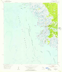
1954 · Suwannee
USGS Topo · 1:24,000
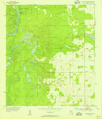
1954 · Manatee Springs
USGS Topo · 1:24,000
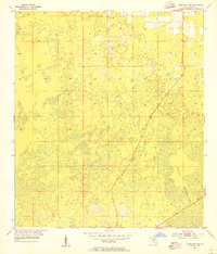
1954 · Chiefland SW
USGS Topo · 1:24,000
1954 · Vista
USGS Topo · 1:24,000
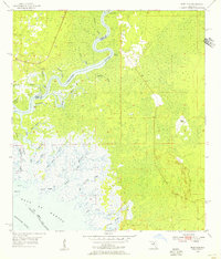
1954 · East Pass
USGS Topo · 1:24,000
1954 · Gainesville
USGS Topo · 1:250,000
1955 · Cedar Key
USGS Topo · 1:24,000
1955 · Sumner
USGS Topo · 1:24,000
1955 · Shired Island
USGS Topo · 1:24,000
1958 · Gainesville
USGS Topo · 1:250,000