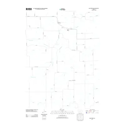
2013 Map of East Peru
USGS Topo · Published 2013About this map
Old Peru and East Peru serve as the primary landmarks in this part of Madison County, showing the proximity of these two distinct settlement areas within the Walnut Township region. The landscape is defined by the drainage patterns of Clanton Cr and its various branches, including the N Fork Clanton Cr and S Fork Clanton Cr. These waterways create a network of valleys that shape the local road system, where routes like Clanton Creek Rd and Peru Rd follow the natural topography. Further south, the S River flows through the lower portion of the map, while the Morgan Bridge crossing provides a specific point of reference for historical transportation. The map captures a rural Iowa landscape dominated by small-scale drainage systems like Bird Cr and Deer Cr, illustrating the relationship between the prairie hydrology and the township's established property lines and road grid.
Find a feature on this map
60 named features on this map. Tap any name to fly to it.
Don’t see what you’re looking for? This feature index may not catch every label — zoom into the map to look around manually.
Map Details
Editions of this 2013 East Peru Map
This is the sole edition of this map. No revisions or reprints were ever made.
Other maps of this area

1951 · Osceola
USGS Topo · 1:62,500

1951 · St. Charles
USGS Topo · 1:62,500

1951 · Afton
USGS Topo · 1:62,500

1952 · Winterset
USGS Topo · 1:62,500

1954 · Omaha
USGS Topo · 1:250,000

1954 · Des Moines
USGS Topo · 1:250,000

1956 · Des Moines
USGS Topo · 1:250,000

1957 · Des Moines
USGS Topo · 1:250,000

1957 · Omaha
USGS Topo · 1:250,000

1958 · Omaha
USGS Topo · 1:250,000