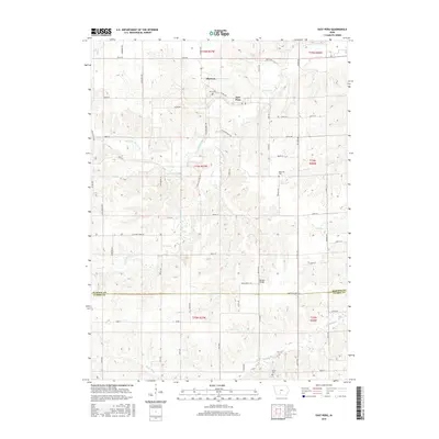
2015 Map of East Peru
USGS Topo · Published 2015About this map
Old Peru and East Peru anchor this portrait of southern Madison County, showing the shifting center of community life in Walnut Township. The map traces the intricate drainage of the Clanton Cr watershed, including the N Fork Clanton Cr and S Fork Clanton Cr, which carve through the Iowa landscape. Genealogists can identify significant burial sites such as Peru Cem, Ebenezer Cem, and Union Cem, providing clear evidence of family settlement patterns across the townships. The southern edge of the sheet marks the transition into Clarke County, defined by the winding course of the South River and the rural crossing at Morgan Bridge. A dense network of township roads and trails like Pioneer Ave and Settlers Ave connects these scattered hamlets and farmsteads.
Find a feature on this map
66 named features on this map. Tap any name to fly to it.
Don’t see what you’re looking for? This feature index may not catch every label — zoom into the map to look around manually.
Map Details
Editions of this 2015 East Peru Map
This is the sole edition of this map. No revisions or reprints were ever made.
Other maps of this area

1951 · Osceola
USGS Topo · 1:62,500

1951 · St. Charles
USGS Topo · 1:62,500

1951 · Afton
USGS Topo · 1:62,500

1952 · Winterset
USGS Topo · 1:62,500

1954 · Omaha
USGS Topo · 1:250,000

1954 · Des Moines
USGS Topo · 1:250,000

1956 · Des Moines
USGS Topo · 1:250,000

1957 · Des Moines
USGS Topo · 1:250,000

1957 · Omaha
USGS Topo · 1:250,000

1958 · Omaha
USGS Topo · 1:250,000