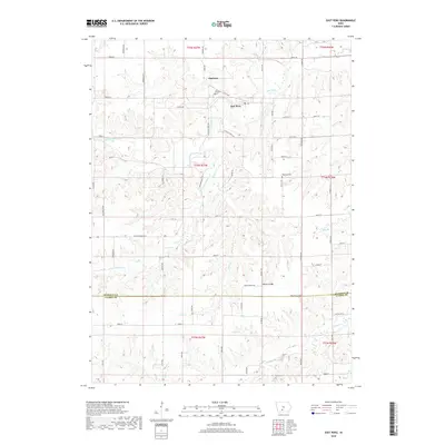
2018 Map of East Peru
USGS Topo · Published 2018About this map
Old Peru and East Peru anchor this landscape along the border of Madison and Clarke counties, where the terrain is deeply etched by a complex drainage network. The map reveals the relationship between the original settlement of Old Peru and its neighbor, East Peru, situated near the headwaters of Clanton Cr. Three distinct burial grounds, Peru Cem, Ebenezer Cem, and Union Cem, are preserved in the documentation, offering significant value for genealogical research in this rural Iowa township.
Find a feature on this map
66 named features on this map. Tap any name to fly to it.
Don’t see what you’re looking for? This feature index may not catch every label — zoom into the map to look around manually.
Map Details
Editions of this 2018 East Peru Map
This is the sole edition of this map. No revisions or reprints were ever made.
Other maps of this area

1951 · Osceola
USGS Topo · 1:62,500

1951 · St. Charles
USGS Topo · 1:62,500

1951 · Afton
USGS Topo · 1:62,500

1952 · Winterset
USGS Topo · 1:62,500

1954 · Omaha
USGS Topo · 1:250,000

1954 · Des Moines
USGS Topo · 1:250,000

1956 · Des Moines
USGS Topo · 1:250,000

1957 · Des Moines
USGS Topo · 1:250,000

1957 · Omaha
USGS Topo · 1:250,000

1958 · Omaha
USGS Topo · 1:250,000