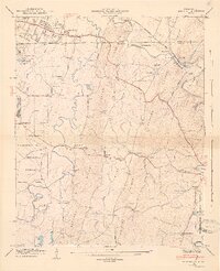
1946 Map of East Ridge
USGS Topo · Published 1947About this map
Chickamauga and Chattanooga National Military Park and the Fort Oglethorpe Military Reservation dominate the western edge of this 1940s landscape, marking the intersection of Civil War heritage and mid-century military infrastructure. The state line between Tennessee and Georgia cuts across the northern section, where the suburban growth of East Ridge meets the more rural reaches of Catoosa County.
Find a feature on this map
51 named features on this map. Tap any name to fly to it.
Don’t see what you’re looking for? This feature index may not catch every label — zoom into the map to look around manually.
Map Details
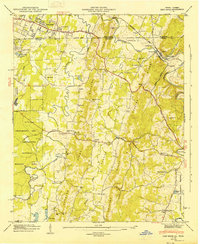
Editions of this 1946 East Ridge Map
2 editions found
Other maps of this area

1886 · Ringgold
USGS Topo · 1:125,000

1888 · Chattanooga
USGS Topo · 1:125,000

1892 · Ringgold
USGS Topo · 1:125,000

1893 · Chattanooga
USGS Topo · 1:125,000

1935 · East Chattanooga
USGS Topo · 1:24,000

1935 · East Ridge
USGS Topo · 1:24,000

1935 · Ringgold
USGS Topo · 1:24,000

1935 · Nickajack Gap
USGS Topo · 1:24,000

1935 · Ooltewah
USGS Topo · 1:24,000

1935 · Tunnel Hill
USGS Topo · 1:24,000