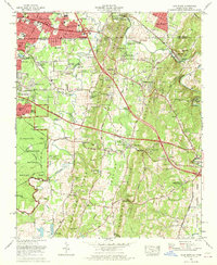
1969 Map of East Ridge
USGS Topo · Published 1970About this map
Chickamauga and Chattanooga National Military Park dominates the western landscape of this 1969 survey, where historical battle lines are preserved amidst a period of rapid suburban growth. The Tennessee-Georgia state line bisects the sheet, separating the established city of East Ridge from the expanding subdivisions of Catoosa County like McDonald Acres and Blevins Acres. Transportation corridors are in transition as Interstate 75 cuts across the terrain, intersecting the older Dixie Highway and Ringgold Road.
Find a feature on this map
95 named features on this map. Tap any name to fly to it.
Don’t see what you’re looking for? This feature index may not catch every label — zoom into the map to look around manually.
Map Details
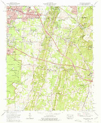
Editions of this 1969 East Ridge Map
2 editions found
Other maps of this area

1886 · Ringgold
USGS Topo · 1:125,000

1888 · Chattanooga
USGS Topo · 1:125,000

1892 · Ringgold
USGS Topo · 1:125,000

1893 · Chattanooga
USGS Topo · 1:125,000

1935 · East Chattanooga
USGS Topo · 1:24,000

1935 · East Ridge
USGS Topo · 1:24,000

1935 · Ringgold
USGS Topo · 1:24,000

1935 · Nickajack Gap
USGS Topo · 1:24,000

1935 · Ooltewah
USGS Topo · 1:24,000

1935 · Tunnel Hill
USGS Topo · 1:24,000