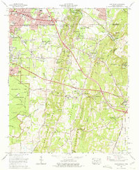
1969 Map of East Ridge
USGS Topo · Published 1975About this map
The boundary between Tennessee and Georgia bisects this 1969 landscape, where suburban growth from East Ridge meets the preservation of Chattanooga National Military Park. The suburban transition is evident in developments like Boyd Highlands and Scenic Hills, while landmarks like the Lake Winnepesaukah Amusement Park serve as established regional anchors. The map documents the expansion of infrastructure with the route of Interstate 75 and the evolving recreational landscape, including the Battlefield Golf Club and Estates shown under development.
Find a feature on this map
73 named features on this map. Tap any name to fly to it.
Don’t see what you’re looking for? This feature index may not catch every label — zoom into the map to look around manually.
Map Details
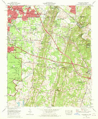
Editions of this 1969 East Ridge Map
2 editions found
Other maps of this area

1886 · Ringgold
USGS Topo · 1:125,000

1888 · Chattanooga
USGS Topo · 1:125,000

1892 · Ringgold
USGS Topo · 1:125,000

1893 · Chattanooga
USGS Topo · 1:125,000

1935 · East Chattanooga
USGS Topo · 1:24,000

1935 · East Ridge
USGS Topo · 1:24,000

1935 · Ringgold
USGS Topo · 1:24,000

1935 · Nickajack Gap
USGS Topo · 1:24,000

1935 · Ooltewah
USGS Topo · 1:24,000

1935 · Tunnel Hill
USGS Topo · 1:24,000