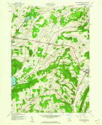
1943 Map of East Springfield
USGS Topo · Published 1960About this map
Springfield and the surrounding hamlets of northern Otsego County are defined by a landscape of prominent drumlins and deep valleys during the mid-1940s. The settlement pattern follows the early turnpikes and rural crossroads, where clusters like Middle Village and Springfield Center provided local commerce and services. To the east, the historic village of Cherry Valley sits at the head of Cherry Valley Creek, while the dramatic Dugway Gorge cuts through the terrain near Salt Springville. This era captures the rural social infrastructure of the region before significant consolidation, preserving the locations of numerous family and community landmarks such as Willse Hill Cem, Oliver Cem, and the Continental Sch. The map also illustrates the northern reach of Otsego Lake at Hyde Bay, a critical geographic anchor for the region's early development and tourism.
Find a feature on this map
37 named features on this map. Tap any name to fly to it.
Don’t see what you’re looking for? This feature index may not catch every label — zoom into the map to look around manually.
Map Details
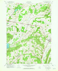
Editions of this 1943 East Springfield Map
2 editions found
Other maps of this area

1898 · Canajoharie
USGS Topo · 1:62,500

1900 · Canajoharie
USGS Topo · 1:62,500

1902 · Canajoharie
USGS Topo · 1:62,500

1903 · Richfield Springs
USGS Topo · 1:62,500

1904 · Richmondville
USGS Topo · 1:62,500

1907 · Cooperstown
USGS Topo · 1:62,500

1909 · Cooperstown
USGS Topo · 1:62,500

1943 · Jordanville
USGS Topo · 1:24,000

1943 · South Valley
USGS Topo · 1:24,000

1943 · Richfield Springs
USGS Topo · 1:24,000