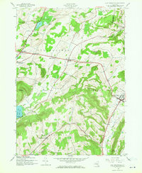
1943 Map of East Springfield
USGS Topo · Published 1971About this map
Cherry Valley serves as a major hub in this wartime survey, situated at the intersection of critical regional roads and the D & H rail line. The landscape is defined by a series of prominent ridges and peaks, including Mount Wellington and Shankley Mountain, which overlook the northern reaches of Otsego Lake and Hyde Bay. Small agrarian hamlets such as East Springfield, Middle Village, and Springfield Four Corners are connected by a network of rural roads, reflecting a mid-century settlement pattern focused on local schools and community cemeteries.
Find a feature on this map
42 named features on this map. Tap any name to fly to it.
Don’t see what you’re looking for? This feature index may not catch every label — zoom into the map to look around manually.
Map Details
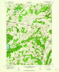
Editions of this 1943 East Springfield Map
2 editions found
Other maps of this area

1898 · Canajoharie
USGS Topo · 1:62,500

1900 · Canajoharie
USGS Topo · 1:62,500

1902 · Canajoharie
USGS Topo · 1:62,500

1903 · Richfield Springs
USGS Topo · 1:62,500

1904 · Richmondville
USGS Topo · 1:62,500

1907 · Cooperstown
USGS Topo · 1:62,500

1909 · Cooperstown
USGS Topo · 1:62,500

1943 · Jordanville
USGS Topo · 1:24,000

1943 · South Valley
USGS Topo · 1:24,000

1943 · Richfield Springs
USGS Topo · 1:24,000