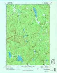
1970 Map of East Stoneham
USGS Topo · Published 1972About this map
White Mountain National Forest dominates much of this Oxford County landscape, where the peaks of Albany Mtn, Farwell Mtn, and Peter Mtn define a terrain of sharp relief and deep gaps like New England Notch. The Crooked River and Pleasant River wind through the valleys, supporting small clusters of activity at East Stoneham and Hunts Corner. Local history is preserved in the presence of the Town House and small burial grounds such as Songo Cem and Flat Cem. The map reveals a post-war rural economy transitioning, with timber lands and specialized natural areas like Waterfowl Marsh sitting alongside extractive sites like the Quarry and various Gravel Pits. Water bodies like Keewaydin Lake, Virginia Lake, and the long stretch of Songo Pond indicate a landscape shaped by glacial activity, while the network of pipelines and forest boundaries show the modern management of these Maine woods.
Find a feature on this map
72 named features on this map. Tap any name to fly to it.
Don’t see what you’re looking for? This feature index may not catch every label — zoom into the map to look around manually.
Map Details
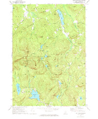
Editions of this 1970 East Stoneham Map
2 editions found
Other maps of this area

1896 · Norway
USGS Topo · 1:62,500

1909 · Fryeburg
USGS Topo · 1:62,500

1911 · Fryeburg
USGS Topo · 1:62,500

1911 · Bryant Pond
USGS Topo · 1:62,500

1914 · Bethel
USGS Topo · 1:62,500

1914 · Bryant Pond
USGS Topo · 1:62,500

1940 · Bethel
USGS Topo · 1:62,500

1941 · Bethel
USGS Topo · 1:62,500

1941 · Fryeburg
USGS Topo · 1:62,500

1942 · Bryant Pond
USGS Topo · 1:62,500