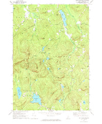
1970 Map of East Stoneham
USGS Topo · Published 1972About this map
White Mountain National Forest dominates this Oxford County landscape, where the rugged topography of the Oxford Hills meets a dense network of high-elevation ponds and brooks. The Crooked River winds through the eastern portion of the map, past the Town House and Songo Cem, serving as a primary drainage for the area's numerous glacial basins. Small, isolated settlements like East Stoneham and Hunts Corner anchor the valley roads, while the interior is defined by named peaks such as Albany Mtn, Peter Mtn, and Rattlesnake Mtn. The presence of several Gravel Pits and a Quarry near Grover Hill indicates a local economy tied to the extraction of glacial materials. For genealogists and local historians, the map preserves the exact locations of several upland cemeteries and family-named landmarks like Cummings Hill and Bacon Hill, reflecting a century of rural habitation and timber management.
Find a feature on this map
74 named features on this map. Tap any name to fly to it.
Don’t see what you’re looking for? This feature index may not catch every label — zoom into the map to look around manually.
Map Details
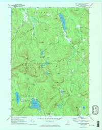
Editions of this 1970 East Stoneham Map
2 editions found
Other maps of this area

1896 · Norway
USGS Topo · 1:62,500

1909 · Fryeburg
USGS Topo · 1:62,500

1911 · Fryeburg
USGS Topo · 1:62,500

1911 · Bryant Pond
USGS Topo · 1:62,500

1914 · Bethel
USGS Topo · 1:62,500

1914 · Bryant Pond
USGS Topo · 1:62,500

1940 · Bethel
USGS Topo · 1:62,500

1941 · Bethel
USGS Topo · 1:62,500

1941 · Fryeburg
USGS Topo · 1:62,500

1942 · Bryant Pond
USGS Topo · 1:62,500