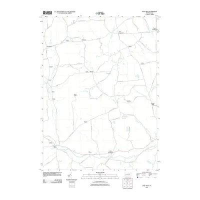
2010 Map of East Troy
USGS Topo · Published 2010About this map
Mount Pisgah dominates the central landscape of this northern Pennsylvania quadrangle, where the headwaters of Mill Creek and Pisgah Creek drain into the valley below. The settlement pattern is defined by several small crossroads communities, including Wetona, Leona, and Ayers Crossroads, which reflect the region's agricultural roots and 19th-century growth. Along the southern edge of the map, the confluence of Mud Creek and Sugar Creek near East Troy marks a significant local drainage point where the terrain levels out.
Find a feature on this map
84 named features on this map. Tap any name to fly to it.
Don’t see what you’re looking for? This feature index may not catch every label — zoom into the map to look around manually.
Map Details
Editions of this 2010 East Troy Map
This is the sole edition of this map. No revisions or reprints were ever made.
Other maps of this area

1931 · Troy
USGS Topo · 1:48,000

1938 · Troy
USGS Topo · 1:62,500

1939 · Sayre
USGS Topo · 1:62,500

1942 · Sayre
USGS Topo · 1:62,500

1942 · Canton
USGS Topo · 1:62,500

1943 · Powell
USGS Topo · 1:62,500

1944 · Canton
USGS Topo · 1:62,500

1945 · Powell
USGS Topo · 1:62,500

1948 · Sayre
USGS Topo · 1:62,500

1954 · Williamsport
USGS Topo · 1:250,000
Featured Places
- Springfield Township, PA
- West Burlington Township, PA
- Smithfield Township, PA
- East Smithfield, Smithfield Township
- Bourne Mills, West Burlington Township