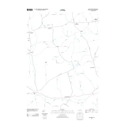
2013 Map of East Troy
USGS Topo · Published 2013About this map
Mount Pisgah and the surrounding valley of Sugar Cr define the landscape of this portion of Bradford County. This region is characterized by a network of small, historic rural settlements like Wetona, Leona, and Harkness that persist alongside modern conservation land at Mt Pisgah State Park. The map reveals a high concentration of family-named roads and landmarks, such as Ayers Crossroads and Bourne Mills, suggesting a long-standing pattern of family land ownership and local commerce centered on the creek systems. Transportation throughout the area is anchored by the Berwick Tpke, which cuts through the northern townships, while the AKM Airfield provides a point of aviation infrastructure near Springfield. The survey shows how the community remains organized around natural water features like Mill Cr and Leonard Cr, reflecting a traditional Appalachian Plateau settlement pattern.
Find a feature on this map
79 named features on this map. Tap any name to fly to it.
Don’t see what you’re looking for? This feature index may not catch every label — zoom into the map to look around manually.
Map Details
Editions of this 2013 East Troy Map
This is the sole edition of this map. No revisions or reprints were ever made.
Other maps of this area

1931 · Troy
USGS Topo · 1:48,000

1938 · Troy
USGS Topo · 1:62,500

1939 · Sayre
USGS Topo · 1:62,500

1942 · Sayre
USGS Topo · 1:62,500

1942 · Canton
USGS Topo · 1:62,500

1943 · Powell
USGS Topo · 1:62,500

1944 · Canton
USGS Topo · 1:62,500

1945 · Powell
USGS Topo · 1:62,500

1948 · Sayre
USGS Topo · 1:62,500

1954 · Williamsport
USGS Topo · 1:250,000
Featured Places
- Springfield Township, PA
- West Burlington Township, PA
- Smithfield Township, PA
- East Smithfield, Smithfield Township
- Bourne Mills, West Burlington Township