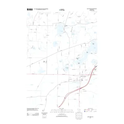
2013 Map of East Troy
USGS Topo · Published 2013About this map
East Troy serves as the primary hub of this landscape, situated at the intersection of several regional thoroughfares including State Road 20. The town's infrastructure is supported by the nearby East Troy Municipal Airport, while the residential enclave of Skyview Terrace marks the eastward expansion of the settlement. To the north and west, the terrain transitions into a dense network of glacial water bodies and wetlands, where the Mukwonago River connects Eagle Spring Lake to the broader watershed.
Find a feature on this map
100 named features on this map. Tap any name to fly to it.
Don’t see what you’re looking for? This feature index may not catch every label — zoom into the map to look around manually.
Map Details
Editions of this 2013 East Troy Map
This is the sole edition of this map. No revisions or reprints were ever made.
Other maps of this area

1892 · Whitewater
USGS Topo · 1:62,500

1892 · Eagle
USGS Topo · 1:62,500

1893 · Delavan
USGS Topo · 1:62,500

1893 · Whitewater
USGS Topo · 1:62,500

1893 · Geneva
USGS Topo · 1:62,500

1894 · Eagle
USGS Topo · 1:62,500

1897 · Eagle
USGS Topo · 1:62,500

1903 · Whitewater
USGS Topo · 1:62,500

1904 · Lake Geneva
USGS Topo · 1:62,500

1906 · Eagle
USGS Topo · 1:62,500