
1964 Map of East Vermillion Lake
USGS Topo · Published 1966About this map
East Vermillion Lake dominates this mid-1960s survey of the McCook and Minnehaha county border, where the reservoir intersects with the East Fork Vermillion River. The landscape reflects a traditional agrarian settlement pattern, organized by a grid of rural schools like School No 2-16 and School No 5-16 that served the townships of Greenland and Spring Valley.
Find a feature on this map
22 named features on this map. Tap any name to fly to it.
Don’t see what you’re looking for? This feature index may not catch every label — zoom into the map to look around manually.
Map Details
Editions of this 1964 East Vermillion Lake Map
This is the sole edition of this map. No revisions or reprints were ever made.
Other maps of this area

1898 · Parker
USGS Topo · 1:125,000

1955 · Sioux Falls
USGS Topo · 1:250,000

1958 · Sioux Falls
USGS Topo · 1:250,000

1964 · Montrose
USGS Topo · 1:24,000

1964 · Grass Lake
USGS Topo · 1:24,000

1964 · Canistota
USGS Topo · 1:24,000

1964 · Salem NE
USGS Topo · 1:24,000

1964 · Humboldt
USGS Topo · 1:24,000
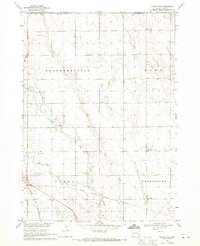
1968 · Parker NE
USGS Topo · 1:24,000
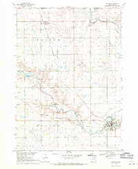
1968 · Parker
USGS Topo · 1:24,000
Featured Places
- Canistota Township, SD
- Rumpus Ridge, SD
- Grant Township, SD
- Spring Valley Township, SD
- Humboldt Township, SD