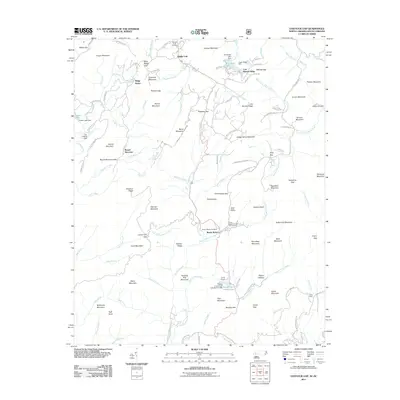
2011 Map of Eastatoe Gap
USGS Topo · Published 2011About this map
Sassafras Mountain and the surrounding peaks of the Blue Ridge define this landscape at the North Carolina and South Carolina border. The area is characterized by a network of camps and specialized retreats, including Camp McCall, Camp Adger, and the Rocky Bottom Camp for the Blind. Settlement patterns are concentrated in small communities like Middle Fork and Rocky Bottom, which are anchored by local burying grounds such as Middle Fork Cemetery and Rocky Bottom Cemetery.
Find a feature on this map
132 named features on this map. Tap any name to fly to it.
Don’t see what you’re looking for? This feature index may not catch every label — zoom into the map to look around manually.
Map Details
Editions of this 2011 Eastatoe Gap Map
This is the sole edition of this map. No revisions or reprints were ever made.
Other maps of this area

1888 · Pickens
USGS Topo · 1:125,000

1894 · Pickens
USGS Topo · 1:125,000

1905 · Pisgah
USGS Topo · 1:125,000

1906 · Pisgah
USGS Topo · 1:125,000

1935 · Brevard
USGS Topo · 1:24,000

1935 · Eastatoe Gap
USGS Topo · 1:24,000

1935 · Rosman
USGS Topo · 1:24,000

1935 · Lake Toxaway
USGS Topo · 1:24,000

1935 · Reid
USGS Topo · 1:24,000

1935 · Table Rock
USGS Topo · 1:24,000