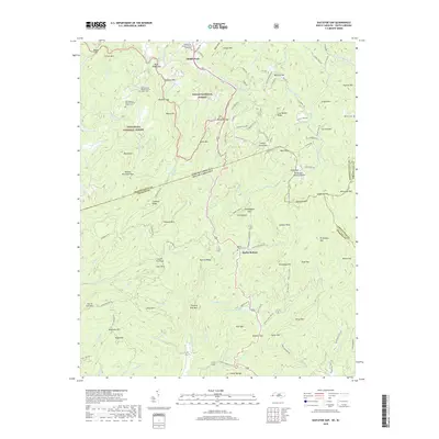
2019 Map of Eastatoe Gap
USGS Topo · Published 2019About this map
Middle Fork and Rocky Bottom sit at the crossroads of the Blue Ridge, where the borders of North Carolina and South Carolina meet. This high-country landscape is defined by its gaps and ridges, with the Pisgah National Forest and Nantahala National Forest preserving much of the terrain. The map documents significant local landmarks for genealogical research, including the Middle Fork Baptist Church and the Old Toxaway Baptist Church, alongside several family burial sites like the Rocky Bottom Cem and Upper Cem.
Find a feature on this map
137 named features on this map. Tap any name to fly to it.
Don’t see what you’re looking for? This feature index may not catch every label — zoom into the map to look around manually.
Map Details
Editions of this 2019 Eastatoe Gap Map
This is the sole edition of this map. No revisions or reprints were ever made.
Other maps of this area

1888 · Pickens
USGS Topo · 1:125,000

1894 · Pickens
USGS Topo · 1:125,000

1905 · Pisgah
USGS Topo · 1:125,000

1906 · Pisgah
USGS Topo · 1:125,000

1935 · Brevard
USGS Topo · 1:24,000

1935 · Eastatoe Gap
USGS Topo · 1:24,000

1935 · Rosman
USGS Topo · 1:24,000

1935 · Lake Toxaway
USGS Topo · 1:24,000

1935 · Reid
USGS Topo · 1:24,000

1935 · Table Rock
USGS Topo · 1:24,000