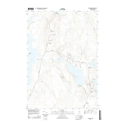
2014 Map of Eastbrook
USGS Topo · Published 2014About this map
Waltham and Eastbrook anchor this portion of Hancock County, where the landscape is defined by a dense network of glacial ponds and ridges. The rural character of the area is evident in the scattered settlements along Waltham Rd and Eastbrook Rd, including the communities of Waltham Ridge and Mills Ridge. Water features dominate the geography, from the expansive Graham Lake on the western edge to the cluster of smaller basins like Little Webb Pond, Webb Pond, and Abrams Pond further east.
Find a feature on this map
61 named features on this map. Tap any name to fly to it.
Don’t see what you’re looking for? This feature index may not catch every label — zoom into the map to look around manually.
Map Details
Editions of this 2014 Eastbrook Map
This is the sole edition of this map. No revisions or reprints were ever made.
Other maps of this area

1911 · Ellsworth
USGS Topo · 1:62,500

1929 · Great Pond
USGS Topo · 1:48,000

1929 · Lead Mountain
USGS Topo · 1:48,000

1930 · Tunk Lake
USGS Topo · 1:48,000

1932 · Tunk Lake
USGS Topo · 1:62,500

1932 · Lead Mountain
USGS Topo · 1:62,500

1932 · Great Pond
USGS Topo · 1:62,500

1940 · Ellsworth
USGS Topo · 1:62,500

1942 · Ellsworth
USGS Topo · 1:62,500

1942 · Tunk Lake
USGS Topo · 1:62,500