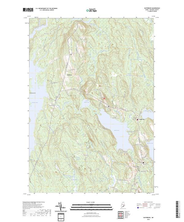
2024 Map of Eastbrook
USGS Topo · Published 2024About this map
Waltham and Eastbrook anchor this rural Hancock County landscape, where the terrain is defined by a series of distinct ridges and low-lying wetlands. The area between Waltham Ridge and Mills Ridge is a network of water and marsh, featuring several named heaths such as Morrison Heath, Casebottle Heath, and Cook Heath. This particular geography of bogs and meadows, including Bloxton Meadow and Grant Meadow, has historically influenced the placement of local roads and small-scale settlement patterns.
Find a feature on this map
83 named features on this map. Tap any name to fly to it.
Don’t see what you’re looking for? This feature index may not catch every label — zoom into the map to look around manually.
Map Details
Editions of this 2024 Eastbrook Map
This is the sole edition of this map. No revisions or reprints were ever made.
Other maps of this area

1911 · Ellsworth
USGS Topo · 1:62,500

1929 · Great Pond
USGS Topo · 1:48,000

1929 · Lead Mountain
USGS Topo · 1:48,000

1930 · Tunk Lake
USGS Topo · 1:48,000

1932 · Tunk Lake
USGS Topo · 1:62,500

1932 · Lead Mountain
USGS Topo · 1:62,500

1932 · Great Pond
USGS Topo · 1:62,500

1940 · Ellsworth
USGS Topo · 1:62,500

1942 · Ellsworth
USGS Topo · 1:62,500

1942 · Tunk Lake
USGS Topo · 1:62,500