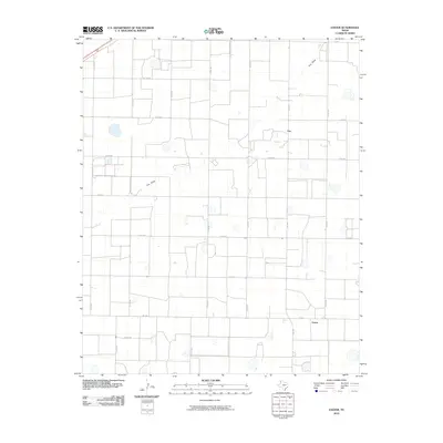
2010 Map of Easter
USGS Topo · Published 2010About this map
The agricultural landscape of Castro County is defined by a rigid grid of rural routes, as seen in this 2010 topographic survey. The settlement of Easter serves as a focal point at the intersection of FM 1055 and FM 2397, anchoring a region dominated by vast plains and a network of county roads like Co Rd 604. A distinct geographic break in the terrain is provided by Frio Draw, which meanders across the northern half of the map, passing near the small community of Frio. This intermittent drainage feature is one of the few natural interruptions to the systematic section lines that organize the local ranching and farming operations. The map documents the precise placement of numerous small water features and reservoirs scattered among the fields, many of which are accessed by specialized paths such as Co Rd 505A.
Find a feature on this map
21 named features on this map. Tap any name to fly to it.
Don’t see what you’re looking for? This feature index may not catch every label — zoom into the map to look around manually.
Map Details
Editions of this 2010 Easter Map
This is the sole edition of this map. No revisions or reprints were ever made.
Other maps of this area

1954 · Clovis
USGS Topo · 1:250,000

1958 · Clovis
USGS Topo · 1:250,000

1965 · Dimmitt
USGS Topo · 1:24,000

1965 · Dimmitt SW
USGS Topo · 1:24,000

1965 · Tam Anne
USGS Topo · 1:24,000

1966 · Jumbo
USGS Topo · 1:24,000

1966 · Easter
USGS Topo · 1:24,000

1966 · Summerfield
USGS Topo · 1:24,000

1970 · Hereford
USGS Topo · 1:24,000

1971 · Westway
USGS Topo · 1:24,000