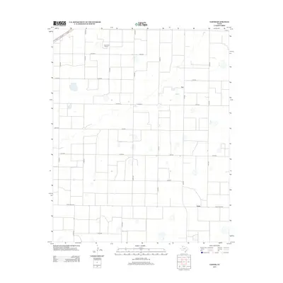
2012 Map of Easter
USGS Topo · Published 2012About this map
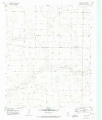
The small unincorporated community of Easter anchors this 2012 survey of the Texas Panhandle, situated at the intersection of several key rural thoroughfares. The landscape is defined by an orderly grid of county roads, such as Co RD 606 and Co RD 507, which facilitate the region's agricultural and industrial activities. Evidence of the local economy is seen in the presence of the Circle Three Feedyard in the northern portion of the quadrangle, while the settlement of Frio appears further north along FM-1055. The map traces a network of farm-to-market and ranch roads, including Ranch Road 2397, which connect these isolated agricultural nodes across the flat terrain of Castro County.
Find a feature on this map
25 named features on this map. Tap any name to fly to it.
Don’t see what you’re looking for? This feature index may not catch every label — zoom into the map to look around manually.
Map Details
Editions of this 2012 Easter Map
This is the sole edition of this map. No revisions or reprints were ever made.
Other maps of this area

1954 · Clovis
USGS Topo · 1:250,000

1958 · Clovis
USGS Topo · 1:250,000
1965 · Dimmitt
USGS Topo · 1:24,000
1965 · Dimmitt SW
USGS Topo · 1:24,000
1965 · Tam Anne
USGS Topo · 1:24,000
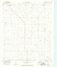
1966 · Jumbo
USGS Topo · 1:24,000
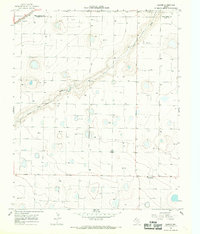
1966 · Easter
USGS Topo · 1:24,000
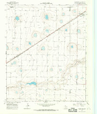
1966 · Summerfield
USGS Topo · 1:24,000
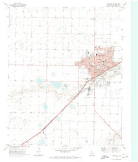
1970 · Hereford
USGS Topo · 1:24,000
1971 · Westway
USGS Topo · 1:24,000