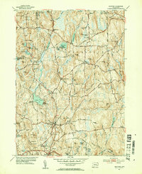
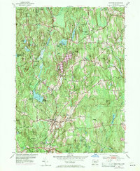
1953 Map of Eastford
USGS Topo · Published 1954About this map
Nipmuck State Forest and Natchaug State Forest bracket a landscape of rolling hills and small village clusters in this early 1950s survey. The town of Eastford sits at the heart of the region, where the Still River and Bigelow Brook converge, supporting several small mill-era settlements like Kenyonville and Phoenixville. To the north, the terrain is dotted with local heritage markers, including the Red and White Sch and numerous burial grounds such as Rindge Cem and Barlow Cem. The presence of Camp Woodstock on Black Pond and Camp Eastford near Crystal Pond highlights the area's mid-century role as a recreational retreat within the rural Windham County hills. A network of local paths like Center Road and Turnpike Road connects the isolated farmsteads and ridges that define this classic New England upland.
Find a feature on this map
94 named features on this map. Tap any name to fly to it.
Don’t see what you’re looking for? This feature index may not catch every label — zoom into the map to look around manually.
Map Details
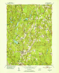
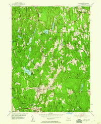
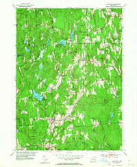
Editions of this 1953 Eastford Map
5 editions found
Other maps of this area

1887 · Brookfield
USGS Topo · 1:62,500

1889 · Webster
USGS Topo · 1:62,500

1889 · Putnam
USGS Topo · 1:62,500

1890 · Brookfield
USGS Topo · 1:62,500

1892 · Woodstock
USGS Topo · 1:62,500

1892 · Webster
USGS Topo · 1:62,500

1893 · Putnam
USGS Topo · 1:62,500

1893 · Brookfield
USGS Topo · 1:62,500

1908 · Quinsigamond
USGS Topo · 1:125,000

1908 · Ware
USGS Topo · 1:125,000